Explore our services


Orthomosaics & Aerial Survey
Capture hundred-acre properties with precision, detail, & accuracy. Calculate area, volume, and distances with high quality maps up to 0.7 in/px resolution.
Data Capture & Analysis
Produce interactive Survey Grade 3D models of construction sites and commercial properties. Make valuable measurements & calculations for data-driven decisions.
Construction Site Monitoring
Track progress with monthly updates, collect valuable data, and showcase your completed work.


High Voltage Powerline Inspection
High Voltage Powerline Inspection using drones is of utmost importance for efficient and safe maintenance of power infrastructure.


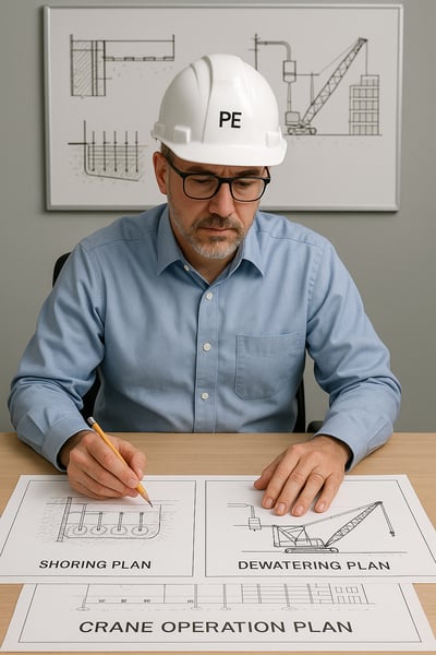
Professional Engineering Services


Commercial & Residential Real Estate photography
Drone photography is vital for capturing stunning visuals and providing a unique perspective in Commercial & Residential Real Estate marketing.


